
Blogs

The Dubious Power of Power Laws


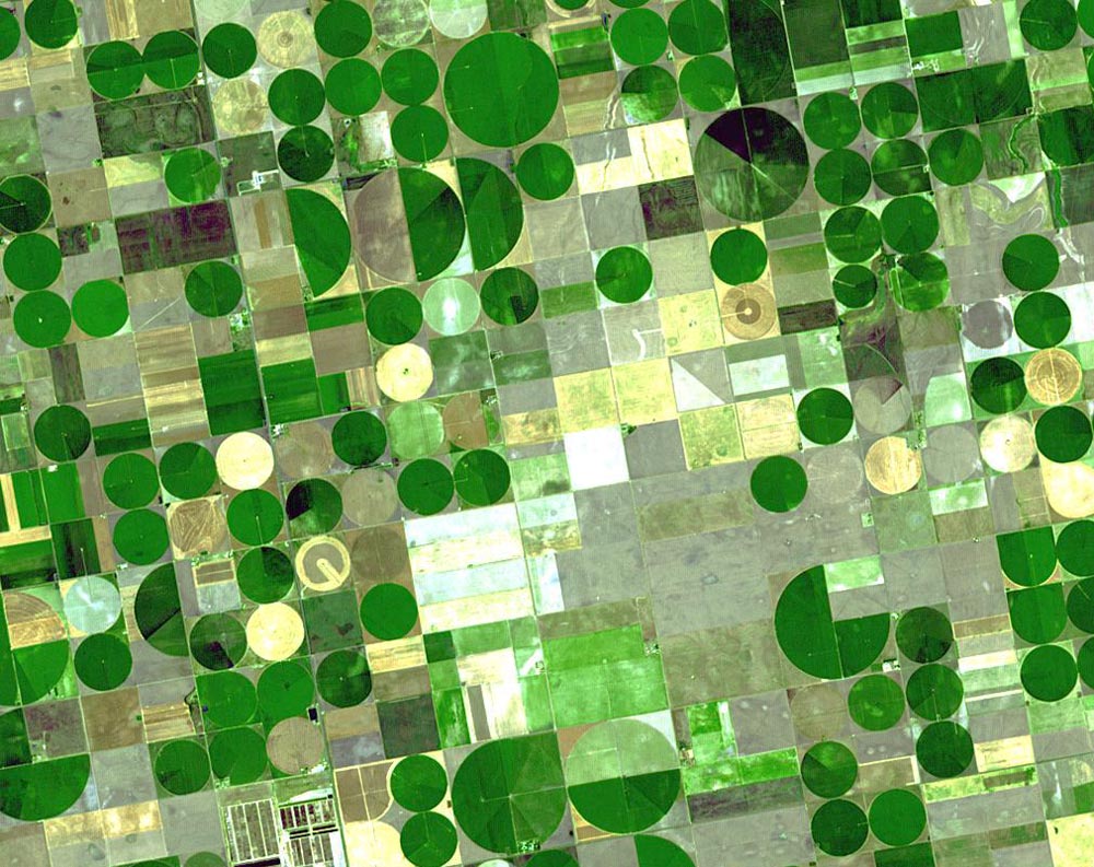
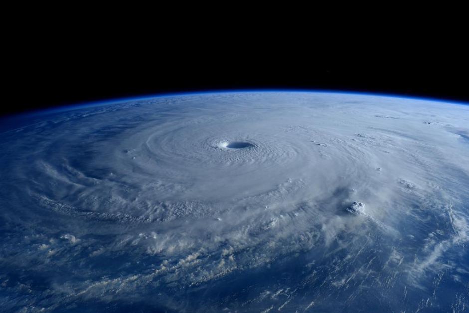
Everyone knows the classic normal distribution—the “bell curve,” where most observations cluster around the mean, and the frequency falls off toward either end, with well known statistical properties. Lots of things in nature are more-or-less normally distributed, but lots of things are not. In some cases distributions are “heavy-tailed,” such that for example there are many of the small ones, and increasingly fewer as size increases. Famous examples are the distribution of earthquake magnitudes, rank-size distributions of cities, and the distribution of wealth in societies.

Models of avalanche size distributions in (mathematically-simulated) sand piles were seminal in developing ideas about self-organized criticality and power laws, both in geomorphology and in general. Unfortunately even real sandpiles, much less more complex systems, are not necessarily well described by the models.

Heavy-tailed distributions are often well described by power laws (and also lognormal distributions).  Power law distributions can be associated with self-similarity and fractal geometry, and with self-organized criticality. Largely because of this, many geoscientists began attaching special significance to power-law phenomena, in some cases suggesting that their prevalence reflects an underlying law of nature. Leaving aside the question of why similar claims have not (or have at least only rarely and obscurely) been made for normal, exponential, and other common distributions in nature, a key problem is that power law distributions are a classic example of equifinality. Equifinality is when the same or similar outcomes can be produced by different processes or histories. Equifinality makes it problematic to infer causes from outcomes, because there is not a one-to-one relationship between formative mechanisms and the resulting forms, patterns—or statistical distributions.

On the purely mathematical and statistical side, heavy-tailed, right-skewed distributions are difficult to tell apart. One study reanalyzed a number of examples of purported power law distributions and found that the evidence that a power function is the best fit is inconclusive in many cases (Clauset et al., 2009). Mitzenmacher (2004) showed that lognormal distributions, in particular, are difficult to distinguish from power laws in empirical data. Other studies also show that apparent power laws disappear when subjected to more stringent testing (e.g., Lima-Mendez and van Helden, 2009).

More importantly, though, is that even when power law distributions are real, they don’t necessarily tell us anything other than that the distribution follows a power law.

Carroll (1982) identified five different classes of models (each with multiple specific models) as of >3 decades ago that can potentially explain city rank-size distribution power laws. He also found that many of these are plausible, but directly contradict each other. I found much the same thing with respect to self-organization principles applied in physical geography (Phillips, 1999). I identified 11 separate concepts of self-organization commonly applied in Earth and environmental sciences. Three of those are explicitly related to power-law distributions, and at least four others have also been linked to power laws. Mitzenmacher (2004), from a computer science perspective, identified five classes of models that generate power law or closely related lognormal distributions.

O’Sullivan and Manson (2015: 72) commented that “outside physics, it often appears that researchers look for power laws (and find them) because they have significance for theoretical physics, not from the perspective of the discipline in question.” They go on to show how this approach led to “misadventures” in studies of the ecology of animal movement. In a previous post, I showed how the prevalence of power-law distributions in geomorphology could be used to support one of my own theories, by reverse-engineering power law statistics from the stipulations of my model. It is surprisingly easy, and tempting, to do so.

So, what kind of phenomena can produce or explain power laws?

One is scale invariance and self-similarity. If similar form-process relationships occur across a range of spatial scales, resulting in self-similarity and fractal geometry, this will produce power-law distributions. Fractal, scale-invariance, and self-similarity concepts are widely applied in geomorphology, geography, geology, and geophysics.

Deterministic chaos is also associated with fractal geometry and power-law distributions. So is self-organized criticality, where systems (both real and “toy” hill slopes are a commonly used example) evolve toward critical thresholds. Given the threshold dominance of many geoscience phenomena, the attractiveness of this perspective in our field is obvious. Chaos, fractals, and SOC is where I first started thinking about this issue, as power law distributions were often used as proof, or supporting evidence, for one or more of those phenomena, when in fact power law distributions are a necessary, but by no means sufficient, indicator.

Power laws also arise from preferential attachment phenomena. In economics this is manifested as the rich get richer; in internet studies as the tendency of highly linked sites to get ever more links and hits. Preferential attachment models have been applied in urban, economic, and transportation geography; evolutionary biology; geomicrobiology; soil science; hydrology; and geomorphology.

Various optimization schemes, based on minimizing costs, entropy, etc. can also produce power laws. These have been linked to power laws quite extensively in studies of channel networks and drainage basins, as well as other geophysical phenomena.

Multiplicative cascade modelsfractal or multifractal patterns arising from iterative random processes—produce power laws. These have been applied in meteorology, fluid dynamics, soil physics, and geochemistry. Speaking of randomness, Mitzenmacher (2004) even shows how monkeys typing randomly could produce power law distributions of word frequencies.

Diffusion limited aggregation is a process whereby particles (or analogous objects) undergoing random motion cluster together to form aggregates. The size distribution of the aggregates follows—well, you know.  DLA has been used to model evolution of drainage networks, escarpments, and eroded plateaus, and applied in several other areas of geosciences and geography.

It is also worth noting that each category above has numerous—and various—specific examples, often within geosciences alone.

The upshot of it all seems to be that a power law distribution, by itself, doesn’t necessarily reveal much about nature. Rather than the ubiquity of power law patterns representing some universal underlying law of nature, it seems to represent an emergent pattern that can arise from a number of different causes—equifinality.

In physics, from which much power law work derives (from physics itself, from physicists venturing into other disciplines, and from importing physics concepts into other fields), Markovic and Gros (2014) point out that despite the collapse of earlier claims that power laws and SOCs are general principles of nature, further exploration of physical and biological scaling phenomena can yield novel concepts and insights. I am willing to concede this is likely the case in geosciences, too, but we must beware of attaching any special significance to power laws a priori, and of the temptation to reverse-engineer them to generate apparent empirical support for our pet theories.

Hergarten’s (2002) book, by the way, while full of SOC, power law, and fractal applications to Earth systems, has a very realistic attitude toward and realization of the limitations of the approach and of the equifinality issues.

------------------------------------------------

Carroll GR. 1982.  National city-size distribution—what do we know after 67 years of research? Progress in Human Geography 6: 1-43.

Clauset A, Shalizi CR, Newman MEJ. 2009. Power-law distributions in empirical data. SIAM Review 51: 661-671.

Hergarten S. 2002. Self-Organized Criticality in Earth Systems. Springer.

Lima-Mendez G, van Helden, J. 2009. The powerful law of the power law and other myths in network biology.  Molecular Biosystems 5: 1482-1493.

Markovic D, Gros C. 2014. Power laws and self-organized criticality in theory and nature. Physics Reports--Review Section of Physics Letters 536: 41-74.

O’Sullivan D, Manson SM. 2015. Do physicists have geography envy? And what can geographers learn from it? Annals of the Association of American Geographers 105: 704-722.

Phillips JD. 1999. Divergence, convergence, and self-organization in landscapes. Annals of the Association of American Geographers 89: 466-488.


Convergence, Divergence & Reverse Engineering Power Laws

Landform and landscape evolution may be convergent, whereby initial differences and irregularities are (on average) reduced and smoothed, or divergent, with increasing variation and irregularity. Convergent and divergent evolution are directly related to dynamical (in)stability. Unstable interactions among geomorphic system components tend to dominate in earlier stages of development, while stable limits often become dominant in later stages. This results in mode switching, from unstable, divergent to stable, convergent development. Divergent-to-convergent mode switches emerge from a common structure in many geomorphic systems: mutually reinforcing or competitive interrelationships among system components, and negative self-effects limiting individual components. When the interactions between components are dominant, divergent evolution occurs. As threshold limits to divergent development are approached, self-limiting effects become more important, triggering a switch to convergence. The mode shift is an emergent phenomenon, arising from basic principles of threshold modulation and gradient selection.

The paragraph above is from the abstract of an article I published in 2014 (Thresholds, Mode-Switching, and Emergent Equilibrium in Geomorphic Systems). Here I want to extend that argument . . . sort of.

If indeed landscape evolution is characterized by two different modes, convergence and divergence, that means there is one trend converging toward landscape homogenization and maximum simplicity. In the limit, the entire landscape falls into one category (landform type, elevation class, soil type, etc.). The other trend diverges toward maximum diversity and complexity, where in the limit every observed point in the landscape is different.

Let si (i = 1, 2, . . . n) represent n types or categories (entities) in the landscape, and ri (j = 1, 2, . . . m) locations of observation or management in the landscape. The relationship between the landscape entities and locations of reference can be represented by a binary matrix A = {aij}. If the ith category applies to the jth location, aij =1, otherwise aij = 0. The probability of a given entity or category and of a given location are p(si), p(r,). In a uniform sampling or observation scheme p(rj) = 1/m.

If more than one location represents the same entity,

p(si) = Σ p(si, rj) j

and by Bayes theorem,

p(si, rj) = p(si,)p(rj).

The diversity or complexity of the landscape categories can be measured by entropy

Hn(S) = -Σ [ p(si) ln p(si)].
 

In the convergent limit of a homogeneous landscape, all locations are the same and Hn(S) = 0. If all entities are equally distributed, Hn(S) = 1. Entropy of the landscape pattern is

Hm(R|si) = -Σ [ p(rj|si) p(rj|si)].
 

The noise in the pattern is

Hm(R|S) = Σ p(si) Hm(R, si)


Introducing λ as a parameter that weights the contribution of each term, a

complexity function is defined as

Ω(λ) = λHm (R|S) + (1-λ)Hn(S) with 0 < λ, Hm (R|S), Hn(S) < 1.

OK, anybody still with me? Despite all the equations, it is pretty straightforward. Ω(λ) measures the complicatedness of the landscape, considering both how many different elements (entities or categories there are) and their relative abundance. The argument above closely parallels Cancho and Sole’s (2003) analysis of least effort in the evolution of human language.

Take the matrix A and randomly change the state (0,1) of some cells, and then calculate Ω(λ), seeing if it is lower than before. Keep doing it until Ω(λ) can’t get any lower (technically until that happens 2nm times in a row). To cut to the chase, Cancho and Sole (2003) showed that this results in a distribution conforming to Zipf’s Law—in other words, the infamous power law!

Power law distributions are extremely common in geomorphology (see, e.g., Bak, 1996; Rodriguez-Iturbe and Rigon, 1997; Hergarten, 2002). Since the opposing tendencies of convergence and divergence can produce power law distributions, that means my mode-switch model is correct!

Or not.

Any number of phenomena can produce or mimic power laws in nature. And, as I just did, it is all too easy and tempting to reverse-engineer them to support a pet theory. So while I could reasonably argue that the prevalence of power law distributions in empirical data is consistent with my theory and does not refute it, that’s about as far as I could go.

I will discuss power laws as examples of equifinality in a future post.

-------------------------------------------------------

Bak P. 1996. How Nature Works. The Science of Self-Organized Criticality. Copernicus.

Cancho RF, Sole RV. 2003. Least effort and the origins of scaling in human language. PNAS 100: 788-791.

Hergarten S. 2002. Self-Organized Criticality in Earth Systems. Springer.

Phillips JD. 2014. Thresholds, mode-switching and emergent equilibrium in geomorphicsystems. Earth Surface Processes and Landforms 39: 71-79.

Rodriguez-Iturbe I, Rigon R. 1997. Fractal River Basins. Cambridge University Press. 


Circular Reasoning

Scientists, including geographers and geoscientists, are easily seduced by repeated forms and patterns in nature. This is not surprising, as our mission is to detect and explain patterns in nature, ideally arising from some unifying underlying law or principle. Further, in the case of geography and Earth sciences, spatial patterns and form-process relationships are paramount.

Unfortunately, the recurrence of similar shapes, forms, or patterns may not tell us much. Over the years we have made much of, e.g. logarithmic spirals, Fibonacci sequences, fractal geometry, and power-law distributions—all of which recur in numerous phenomena—only to learn that they don’t necessarily tell us anything, other than that several different phenomena or causes can lead to the same form or pattern. The phenomenon whereby different processes, causes, or histories can lead to similar outcomes is called equifinality.

Center pivot irrigation in Kansas, USA (USGS photo).

To illustrate, let’s use an example of a shape that occurs commonly in nature—the circle (and its 3-D relative, spheres)—but that we haven’t tried to ascribe to some fundamental overriding or underlying law of nature (at least not in recent decades).

In the landscape circular shapes are everywhere—animal burrow openings, center-pivot irrigation areas, impact craters (from raindrops to meteors), explosion craters, sinkholes, weathering cavities, tree canopy “footprints” (driplines).

Sinkhole near Mellrichstadt, Bavaria, Germany (photo: Wikimedia Commons).

The simplest answer is that circles and spheres are efficient. The circle is the 2D shape with the smallest perimeter/area ratio, and the sphere is the most efficient 3D shape for enclosing a given volume. Thus an ant or a wombat digging a nest or burrow seeking to get the job done with least effort constructs a more or less circular opening. Surface tension acting to pull molecules into the tightest possible grouping forms spheres, and thus the effects of these spheres (bubbles) tends to be approximately circular or half-spherical (e.g., cavitation pits in rock). Farmers seeking to irrigate the maximum area of cropland with the minimum amount of pipe use the center-pivot system where topography allows it, resulting in circular vegetation and soil moisture patterns.

So are all landscape circles a manifestation of geometric efficiency? Not quite.

Lunar craters (NASA photo)

A point-centered disturbance with no directional bias (that is, no tendency for effects to be significantly greater in any particular direction away from the point) also produces a circle. Thus explosion craters from volcanoes or bombs, and impact craters are approximately circular. So too for sinkholes formed by solution centered on a vertical joint.

Isotropic dispersion from a point also produces circular patterns. When not affected by other plants or structures, tree branches grow away from the trunk with an equal probability in any direction (same for roots below the ground for trees with lateral roots). Over time the extent of branches and foliage away from the trunk is approximately equal on all sides, so that the zone of influence on the ground reflected by driplines, litter fall, and soil moisture drawdown is circular. Animals foraging from a central point (nest or burrow) will also produce circular impact areas when resource distribution in isotropic.

Tree canopy dripline (durianinfo.blogspot.com)

In the atmosphere the combination of the pressure gradient force and the Coriolis effect produce circular flow around a low pressure center (or a spiral into the low near the ground, where friction plays a role). Thus produces circular patterns of wind and clouds in cyclonic storms.

Typhoon Maysak as seen from the International Space Station (www.abc.net.au).

Finally, there is preferential preservation. In some cases the processes that produce a given form may not necessarily tend toward maximum efficiency, but once formed, those more stable or efficient structures may be preferentially preserved. Thus, for example, weathering cavities on a rock surface with a more spherical (or hemispherical) shape may be more mechanically stable and thus preferentially preserved compared to other cavity shapes of similar volume.

Weathering cavities, Kaikoura Peninsula, NZ (Stefanie Boltersdorf photo) 

Circular and spherical features are therefore examples of equifinality. Even though the explanations above could perhaps be lumped together into two general categories of efficiency-based explanations and point-centered processes, no single explanation applies to all circular or spherical features. In this the circle is no different than a number of other shapes, patterns, and distributions found in nature. 

Disturbing Foundations

Some comments from a reviewer on a recent manuscript of mine dealing with responses to disturbance in geomorphology got me to thinking about the concept of disturbance in the environmental sciences. Though the paper is a geomorphology paper (hopefully to be) in a geomorphology journal, the referee insisted that I should be citing some of the “foundational” ecological papers on disturbance. These, according to the referee, turned out to be papers from the 1980s and 1990s that are widely cited in the aquatic ecology and stream restoration literature, but are hardly foundational in general.

Consideration of the role of disturbance goes back to the earliest days of ecology, and is a major theme in the classic papers of, e.g., Warming, Cowles, and Clements in the late 19th and early 20th centuries. A general reconsideration (“reimagining” is the term many would use, but I’ve grown to hate that overused word) of the role of disturbance in ecological systems was well underway by the 1970s, and the last five years or so have seem some very interesting syntheses of these emerging ideas (two I especially like are Mori, 2011 and Pulsford et al., 2014).

Geomorphic disturbance in Cameron Parish, Louisiana: washover, beach and dune erosion, and barrier breaching following Hurricane Rita, 2005 (Google EarthTM image).

Disturbance has also been a venerable topic and concept in geomorphology, though it often goes by other names (perturbations, cataclysms, castastrophic events, forcings, environmental change, etc.). One reason for this is that the time scale relevant to ecological disturbances is commensurate with the time scale of organisms (a century or less for most). Geomorphic disturbances include this time scale, but also much longer, geological, time periods. The very perception or identification of disturbances depends on the time scale—a glacial advance, for example, may be a persistent environmental change at one time scale and a system perturbation at another. An uprooted tree may be a significant perturbation at a relatively small spatial and temporal scale, but insignificant at much broader scales.

A geomorphological, ecological, and pedological disturbance—tree uprooted by a 2007 windstorm in the Czech Republic.

The consideration of the role of disturbances at an “ecological” time scale in geomorphology goes back at least as far as in ecology itself—Nathaniel Shaler (1888) wrote about soil disturbances by fauna. In recent decades much of the literature on disturbance in geomorphology in couched in terms of the concept of landscape sensitivity (e.g.,  Brunsden and Thornes, 1979; Thomas and Allison, 1993; Thomas, 2001).

The surge of interest in biogeomorphology recently has resulted in a mixing of geomorphic and ecological concepts of disturbance, and that’s not a bad thing. We just have to keep in mind that geomorphology has developed disturbance-related concepts independently of ecology, and that if you want to consult truly “foundational” work, you’ve got to go back a century or more.

-------------------------------------------------------------

Brunsden D, Thornes JB. 1979. Landscape sensitivity and change. Transactions of the Institute of British Geographers 4: 463-484.

Mori AS. 2011. Ecosystem management based on natural disturbances: hierarchical context and non-equilibrium paradigm. Journal of Applied Ecology 48: 280-292.

Pulsford SA, Lindenmayer DB, Driscoll DA. 2014. A succession of theories: purging redundancy from disturbance theory. Biological Reviews doi: 10.1111/brv.12163.

Shaler NS. 1888. Animal agency in soil-making. Popular Science Monthly 32: 484-487.

Thomas DSG, Allison RJ (editors). 1993. Landscape Sensitivity. British Geomorphological Research Group, 359 p.

Thomas MF. 2001. Landscape sensitivity in space and time—an introduction. Catena 42: 83-98 (introduction to special issue). 

Bank Full Of It

Fluvial geomorphologists, along with hydrologists and river engineers, have long been concerned with the flows or discharges that are primarily responsible for forming and shaping river channels. In the mid-20th century it was suggested that this flow is associated with bankfull stage—the stage right at the threshold of overflowing the channel—and that this occurs, on average, about every year or two in humid-climate perennial streams. If you have to choose just one flow to fixate on—and sometimes you do, for various management, design, and assessment purposes—and have no other a priori information about the river, bankfull is indeed the best choice. But, of course, nature is not that simple.

Some streams have more than one (range of) discharge(s) that are critical in forming or maintaining the channel. Some channels and some discharge regimes are in the process of changing or adjusting to new environmental constraints, such that the whole idea of a single formative discharge is a moving target. Some streams undergo cycles—or perhaps episodes is a better word—of channel infilling and excavation. Sometimes, even within humid temperate climates, the bankfull flow does not correspond with a 1- to 2-year recurrence interval. And where it does, it is typically so only when you calculate it using the annual maximum discharge, not using partial duration, daily, or other series.

Banks of the Kentucky River


Without even going into streams in other climate regimes, or bank geometry that makes it difficult in some cases to define exactly where the bank tops are, you have compound channels.  Here major incision events or episodes create a large macrochannel, with inset floodplains or benches defining a smaller channel within (no doubt there other scenarios for compound channels, too).

The relationship between bankfull flow and the year-or-two mean recurrence interval has become so entrenched that there exist techniques designed to identify a “bankfull” level within incised channels where the expected recurrence interval discharge does not correspond with the bank tops (incidentally, that’s why I use the term banktop flow to avoid confusion).

Anyway, a couple years ago I did a study looking at threshold discharges along a 681 km reach of the lower Brazos River, Texas, for thalweg connectivity (to maintain continuous downstream flow), bed inundation (the entire river bed is inundated), high but sub-banktop flows, channel-floodplain connectivity stages (where water is exchanged between the channel and floodplain, and overbank flow. I also estimated thresholds for transport of sand bed forms and medium gravel, and for cohesive bank erosion. The article based on that study just came out in Hydrological Sciences Journal.

I’ve pasted in the abstract below, but the headline is that no single flow is dominant either hydrologically or geomorphically, and the one to two-year flood has no special significance. Also, due to backwater flooding of tributaries, high-water subchannels that are activated by sub-banktop stages, and occasional gaps in the natural levee, channel-floodplain connectivity occurs at much lower discharges than overbank flooding.

I know from my own studies and experience that these phenomena also occur in other rivers of the region, and from the literature that there are many streams where no single flow is dominant. It will be interesting to see where future studies of reference, critical, threshold, or channel-forming flows take us.


Attachments: